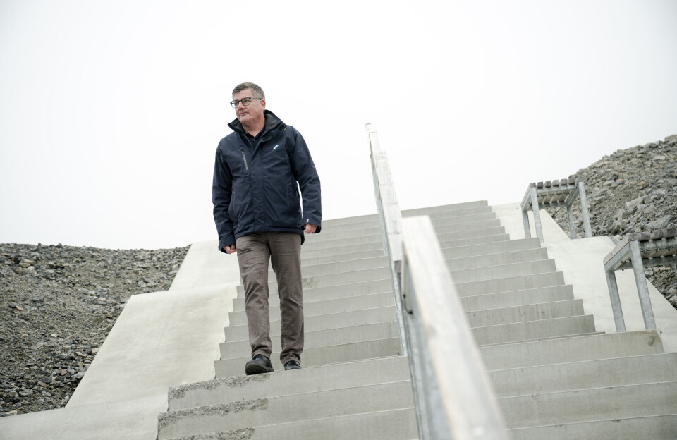
Icebergs and pack ice pose a danger to navigation in the Arctic – regardless of ship size. DMI is therefore in the process of updating the basis for safe sailing and has therefore received help from the most experienced sailors operating in Greenlandic waters.
With AI, ice charts can be drawn faster than before and updated more frequently. Via satellite connections, ships can access newer information closer to the current situation at sea, DMI states in a press release.
Evaluation meeting
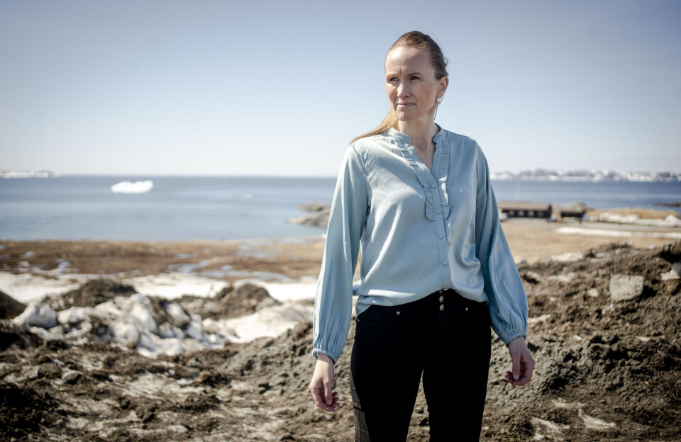
– The new ice charts based on machine learning have now been used alongside the traditional hand-drawn charts for a period of time. We have now gathered the experiences – both strengths and limitations. At a user meeting on 26 March, we look forward to presenting what the future will bring and opening up dialogue, says Anna Christiansson, head of the Arctic Weather and Ice Service at DMI.
The three Greenlandic operators face different challenges when sailing in ice-filled waters. In the past season, they have tested the new and frequently updated ASIP charts, which are based on artificial intelligence, against the old manual ice charts.
– The meeting with the people of the sea marks an important step in the work of making the new ice charts an integrated part of the future decision support for sailing in ice-filled waters. From DMI, we are also participating to a large extent to listen, says Anna Christiansson.
DMI states that the ASIP system “has great potential, but also clear limitations”.
Advantages and weaknesses
- The system performs best in cold periods, while the quality varies significantly during the melt season and in coastal areas. There are also large geographical differences that need to be addressed before the system can stand alone as tactical decision support for ships, according to DMI.
- On the other hand, users point to the value of fast delivery, more frequent updates and the possibility of getting an overview in areas where you previously had to wait longer for new ice maps. Not surprising, because the ‘old’ ice maps are hand-drawn based on a visual interpretation of satellite images, it says.